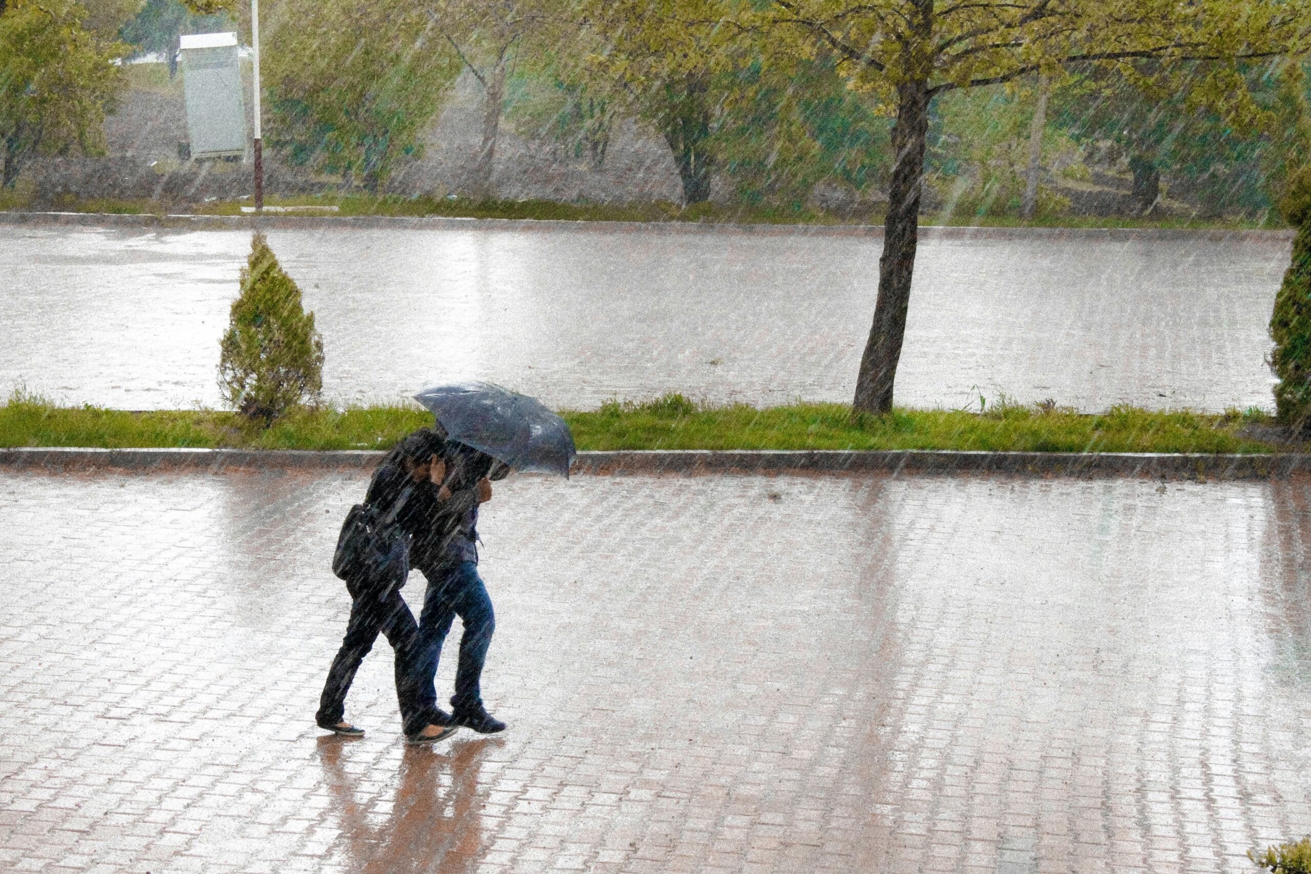
Spain is facing a significant change in weather this Tuesday. Catalonia, in particular, is expected to be affected by potentially extreme rainfall and thunderstorms. The Spanish weather service AEMET has issued its highest warning level, red, for parts of the province of Tarragona. Up to 180 liters of rain per square meter could fall there within just a few hours. The Valencian Community and Galicia are also affected by heavy rain and thunderstorms.
Spain Expat Press Editorial Team
by Marlon Gallego Bosbach
The weather is already causing initial disruptions. In Catalonia, several train services had to be temporarily suspended on Tuesday. Additionally, flooding affected traffic in Barcelona.
Red alert level in Tarragona
The situation is particularly tense on the Catalan Mediterranean coast. A red weather warning is in effect for the northern part of the province of Tarragona on Tuesday between 6:00 a.m. and 2:59 p.m. AEMET expects rainfall of up to 180 liters per square meter within twelve hours.
However, the potential intensity of the rainfall is particularly problematic: According to the weather service, the predicted amount could be reached in some cases within just three to six hours. This significantly increases the risk of suddenly swelling streams and rivers, as well as flash floods.
AEMET uses the red warning level to indicate an exceptional danger and explicitly warns of possible flooding and rapid rises in water levels.
Barcelona, Girona and Lleida are also affected
The severe weather warning is not limited to Tarragona. Orange alerts are in effect for other parts of Catalonia. Barcelona, Girona, and Lleida are expected to receive up to 60 liters of rain per square meter within one hour. Locally, rainfall exceeding 150 liters per square meter is possible within three to six hours.
The rainfall will be accompanied by heavy thunderstorms, hail, and strong gusts of wind. AEMET forecasts gusts of 70 to 90 kilometers per hour in some areas. Waterspouts are also possible along the Catalan coast; isolated small tornadoes cannot be ruled out.
First effects in Catalonia
The weather is already having concrete consequences. On Tuesday morning, Renfe temporarily suspended several high-speed, regional, and medium-distance train services. In Barcelona, the Ronda de Dalt road was also partially closed due to flooding.
The Catalan Civil Protection Agency also issued another warning via the ES-Alert system. Residents in several affected areas were warned of the flood risk. The Catalan Water Authority is also monitoring several rivers and streams due to the risk of rapid water levels rising as a result of the heavy rainfall.
New warning for several comarcas
On Tuesday morning, the Civil Protection issued another warning, specifically targeting the areas of Alt Penedès, Anoia, and Baix Llobregat. Authorities urged residents to exercise particular caution due to the risk of flooding.
In hazardous areas, people should avoid unnecessary journeys and stay away from rivers, streams, or low-lying areas.
Valencia also under weather warning
It’s not just Catalonia that’s affected. The Valencian Community is also under an orange weather warning. In the northern inland areas of the Valencian province, up to 40 liters of rain per square meter could fall within an hour. Locally, up to 80 liters are possible within twelve hours, with a large portion of this amount falling within just three to four hours.
Heavy showers and thunderstorms are also expected in Castellón. Between 30 and 40 liters of rain per square meter could accumulate there within an hour.
Due to the heavy rainfall, the Valencian authorities have already activated a hydrological warning for the Río Magro catchment area and urged municipalities along the river to be extra vigilant.
24 weather-related deployments in the Valencian Community
The effects are already visible in Valencia and Castellón. The Valencian emergency coordination center has registered numerous weather-related callouts since Monday evening. Reports included flooding with water and mud on roads, blocked routes, and water in houses and garages.
This means the danger is not limited to the immediate coastline. Inland areas must also be prepared for sudden flooding.
Galicia is expecting heavy rain and storms
In northwestern Spain, the weather situation is also becoming increasingly dynamic. An orange warning is in effect for parts of the province of A Coruña. Up to 80 liters of rain per square meter could fall there within twelve hours. Additionally, a strong maritime storm is expected along the coast.
Around Finisterre, southerly winds with speeds of about 62 to 74 kilometers per hour are expected, which corresponds to wind force eight.
Atlantic Front reaches more parts of Spain
The weather situation will not remain confined to eastern and northeastern Spain throughout Tuesday. An Atlantic front is approaching from the west, bringing increasingly dense cloud cover and precipitation as the day progresses. Galicia and the western mountainous regions of the north, in particular, may be affected by prolonged and sometimes heavy rain.
At the same time, the atmosphere in northeastern Spain remains unstable due to cold air in the upper atmosphere. This means that strong thunderstorms are still possible there.
Danger from hail and local extreme events
Besides the amount of rainfall, the intensity of individual thunderstorm cells poses a particular problem. AEMET forecasts very heavy to locally torrential downpours in Catalonia. Hail with a diameter of more than two centimeters is also possible in some areas.
In addition, there is a possibility of isolated waterspouts or small tornadoes along the coast.
Significant change in weather towards the end of the month
The storm coincides with a significant change in the weather at the end of September. While some regions of Spain continue to experience temperatures around or above 30 degrees Celsius, maximum temperatures are decreasing, particularly in Galicia and the northeast. Thus, September is ending with considerably more changeable weather in many parts of Spain.
The situation is particularly tense in Tarragona. A red warning is in effect there, indicating an exceptional risk due to the expected heavy rainfall. Orange warnings have also been issued for other parts of Catalonia, where there is an increased risk primarily due to intense rainfall and strong thunderstorms.
An orange warning is also in effect for the Valencian Community, where heavy rain and thunderstorms are expected. Castellón is also forecast to experience heavy showers and thunderstorms. Authorities in Galicia are also warning of heavy rainfall. Along the coast, there is an additional risk of storms.
A yellow weather warning is currently in effect for Asturias and Cantabria, partly due to the possibility of strong gusts of wind. Furthermore, other regions of Spain have local yellow or orange warnings due to heavy rain and thunderstorms.
Authorities advise exercising particular caution
Given the potential rainfall amounts, Spanish authorities advise carefully monitoring current Civil Protection warnings and instructions. Streams and rivers, underpasses, underground parking garages, low-lying areas, and roads in flood zones are particularly dangerous during such weather conditions. Even just a few minutes of heavy rain can cause a rapid rise in water levels.
The situation remains dynamic, particularly in Catalonia. The crucial factors will be where the strongest thunderstorms develop throughout the day and how quickly the predicted rainfall actually occurs.