Following unusually high temperatures in mid-October, a significant change in the weather is on the way for Spain. The state weather agency AEMET forecasts falling temperatures, increasing cloud cover, and – in some areas – heavy precipitation starting Saturday. The Mediterranean coast and the Balearic Islands, in particular, could be affected by the rainfall.
Spain Expat Press Editorial Team
by Marlon Gallego Bosbach
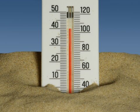
Over the past few days, temperatures across large parts of the country have been well above the seasonal average. Readings exceeded 25 degrees in many areas, with local highs of over 30 degrees recorded in southern Spain. However, this spell of weather may soon come to an end. A shift in weather conditions is expected to bring cooler air to Spain while simultaneously increasing the likelihood of showers and thunderstorms.
Change in the weather begins on Saturday
The change in weather is expected to make itself felt this coming Saturday, initially in the north of the Iberian Peninsula. Precipitation is anticipated, particularly along the Cantabrian coast. Showers and thunderstorms are also possible in parts of the interior.
As the situation evolves, the unsettled weather could extend to the Mediterranean region and the Balearic Islands. Heavy and prolonged rainfall is considered possible for Sunday, October 18, particularly in coastal areas. Depending on how the weather develops, significant local rainfall accumulations could occur.
At the same time, temperatures are expected to drop across large parts of Spain. A significant cooling is anticipated, particularly in the northwest. This would bring a temporary end to the spell of unusually warm autumn weather.
DANA could trigger heavy precipitation
The expected change in weather is driven by a shift in atmospheric currents. This could lead to the formation of a so-called DANA. The Spanish acronym refers to an isolated low-pressure system in the upper atmosphere that carries cold air.
If this encounters warm, moist air near the ground, the atmosphere can become unstable. Consequently, intense showers and thunderstorms may develop. If such areas of precipitation remain over the same region for an extended period, heavy rainfall can occur within a short time.
However, a DANA does not automatically result in extreme rainfall everywhere. Its precise position, its path, and the prevailing wind conditions are the decisive factors. Therefore, it is not yet possible to say with certainty which locations will be most severely affected.
Focus particularly on the Mediterranean coast and the Balearic Islands
Regions being closely monitored in connection with the forecast include the Spanish Mediterranean coast and the Balearic Islands. Rainfall there could intensify at times. Localized flooding cannot be ruled out in the event of persistent heavy rain.
Future developments are also relevant for Andalusia. While conditions in the south are expected to remain warm in many places initially, they could change over the course of the weekend. However, the specific impact of this weather shift on Málaga and the Costa del Sol depends on how the situation evolves. Current forecasts do not indicate widespread heavy rainfall across the whole of Andalusia.
The forecast remains subject to uncertainty
The exact intensity of the rainfall and the specific areas it will affect have not yet been conclusively determined. Even slight changes in weather conditions can influence where thunderstorms form and how much rain falls within a short period.
AEMET therefore recommends closely monitoring current forecasts and regional weather warnings over the coming days. A marked contrast to the October weather seen so far is shaping up for the weekend: the unseasonable warmth could be followed by cooler temperatures and locally heavy rainfall.