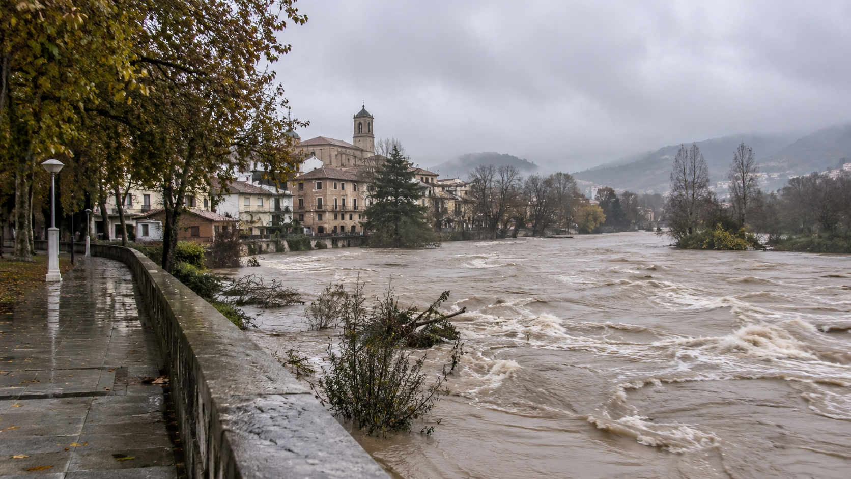
Storm “Charles” is creating dangerous weather conditions across large parts of Spain this Wednesday. After striking the Canary Islands with hurricane-force gusts, the storm system is now moving toward the Iberian Peninsula. Heavy rainfall, gale-force winds, and localized flooding are expected there throughout the day. The situation is particularly critical in parts of Castile and León and Extremadura. In Salamanca, the Tormes River has already reached the “red” flood alert level.
Spain Expat Press Editorial Team
by Marlon Gallego Bosbach
At the same time, numerous regions remain under weather warnings. AEMET anticipates wind speeds of up to 120 kilometers per hour and significant amounts of precipitation. Madrid and Andalusia are also affected by the impact.
“Charles” brings hurricane-force gusts to the Canary Islands
In the Canary Islands, “Charles” demonstrated its full strength as early as last night. The wind speeds recorded so far significantly exceed initial forecasts. At higher altitudes on Tenerife, gusts of up to 148 kilometers per hour were registered. Severe storm gusts were also recorded on La Palma and the other islands.
A red weather warning remains in effect for La Palma, where gusts of up to 130 kilometers per hour are possible. The storm has caused numerous incidents and disrupted air travel. Eight flights at La Palma Airport were canceled, including one arriving from Madrid and several departing for Tenerife and Gran Canaria. Another flight, traveling from Gran Canaria to Tenerife North, was forced to return to its departure airport due to the weather conditions.
On Tenerife, too, there was damage caused by fallen trees. On La Palma, reports included toppled palm trees and damage to infrastructure. At the same time, waves along the coasts reached heights of up to five to six meters in some places.
Now the mainland moves to the center
After passing over the Canary Islands, “Charles” is moving on toward the Iberian Peninsula. Together with “Bruna” – a low-pressure system that has been active for several days – it is creating an exceptionally unstable weather pattern.
AEMET has issued warnings for heavy rainfall, strong winds, or rough seas across nearly the entire country. The southern and western parts of the peninsula, as well as the central mountainous regions, are at particular risk. A red alert – the highest warning level – remains in effect for parts of southern Ávila and northern Cáceres, where up to 120 liters of rain per square meter could fall within a twelve-hour period.
In the south and west, severe storm gusts are also widely expected. In parts of Andalusia, Extremadura, and the southern reaches of Castile and León, wind speeds could reach 100 to 120 kilometers per hour. In exposed mountainous areas, the gusts may be even stronger.
Tormes River in Salamanca reaches red flood alert level
The situation along the Tormes River in the province of Salamanca is currently particularly tense. Following exceptionally heavy rainfall over the past few days, the river has continued to swell, reaching the “red” flood alert level at Puente del Congosto. This increases the risk of flooding along the river’s course. The current situation is also linked to the earlier rainfall brought by the storm system “Bruna”: in many places, the ground is already saturated and has only a limited capacity to absorb any additional water.
In other parts of the region, by contrast, there are initial signs of a slight easing of the situation. For instance, the alert level for the Tiétar River near Valverde de la Vera has been downgraded from red to orange. Several other monitoring stations in the Tagus (Tajo) river basin have also reached lower alert levels. Nevertheless, the situation remains tense due to further rainfall that is expected.
Evacuation in Ávila remains in place
In the south of Ávila province, the risk of flooding remains a concern. In Piedralaves, an evacuation had been ordered following heavy rainfall. Although the water level at the local reservoir has since dropped by several meters, the precautionary measures remain in place.
The authorities are closely monitoring further developments, as new rainfall could cause water levels in already strained rivers and reservoirs to rise once again.
Madrid closes Retiro and other parks
In the Spanish capital, too, authorities are preparing for the most severe impacts of “Charles.” Due to expected strong wind gusts, the Parque del Retiro and five other historic parks have been closed. In addition to the Retiro, these include El Capricho, the Rosaleda in the Parque del Oeste, as well as the Quinta de Fuente del Berro, Quinta de los Molinos, and Quinta Torre Arias. The closures have been in effect since Wednesday midday and are intended to protect the public from falling branches and uprooted trees.
The weather conditions are hitting Madrid on the very day of the general strike. Major demonstrations are planned for the capital this evening, while strong gusts of wind and rain are also expected.
Andalusia also severely affected
The situation also remains tense in Andalusia. Orange or yellow weather warnings for rain and wind are in effect for several provinces. Gusts could reach significant strength, particularly along the Atlantic coast and in higher-altitude areas.
Along the coasts of Cádiz and Huelva, wind speeds of up to 120 kilometers per hour are possible. In addition, AEMET has issued warnings for thunderstorms in these areas, as well as the potential formation of tornadoes or waterspouts. At sea, waves of five to six meters are expected.
Málaga is also under weather warnings. An orange alert for heavy rainfall is in effect for the Serranía de Ronda, the Costa del Sol, and the Guadalhorce Valley, where more than 80 liters per square meter could accumulate within twelve hours. A yellow alert has been issued for the Axarquía, where heavy rain is also expected.
According to current forecasts, the heaviest rainfall in the province of Málaga is expected this afternoon and evening. Mountainous regions, in particular, could be affected. At the same time, strong wind gusts are possible along the coast and in the Guadalhorce Valley.
Ferry service from Tarifa suspended
Traffic between Spain and North Africa is also being affected by “Charles.” Due to severe weather in the Strait of Gibraltar area, scheduled departures from the port of Tarifa to Tangier were cancelled as of 2 p.m. on Wednesday.
As a result, the severe weather is affecting not only air travel in the Canary Islands but also ferry services in southern Spain.
Almost all of Spain under weather warnings
The scale of the severe weather is also reflected in the number of affected regions. According to AEMET, 14 autonomous communities and Ceuta are under weather warnings for rain, wind, or rough sea conditions. Regions not included – among others – are Asturias, Cantabria, and the Balearic Islands.
In central Spain, wind gusts may reach up to 100 kilometers per hour. In Madrid, speeds of up to 100 km/h are expected in higher-altitude areas, while in the metropolitan area and other parts of the region, gusts could reach up to 90 km/h.
In the south and west, high precipitation levels compound the issues caused by the wind. In parts of the Sistema Central, exceptionally large amounts of rain may accumulate over the entire duration of the severe weather event. Given that the ground is already saturated, this also increases the risk of flooding and landslides.
Areas already affected by the fire are at particular risk
An additional danger exists in regions that were affected by severe forest fires during the summer. In these areas, the soil’s ability to absorb water is impaired following the fires, which means that heavy rainfall can more quickly lead to surface runoff, flooding, and landslides.
According to AEMET, more than 300 liters of rain per square meter could accumulate in parts of the Sistema Central over the course of the entire weather event.
The situation is expected to gradually ease starting Thursday
According to current assessments, the peak of the severe weather will occur today, Wednesday. From tomorrow, Thursday, “Charles” is expected to move further northeast, gradually losing its influence. As the low-pressure system shifts, both wind speeds and the intensity of precipitation will continue to decrease. However, the unsettled weather conditions will not have ended completely. In northern Spain, in particular, heavy and prolonged showers may still occur on Thursday. Areas likely to be affected include the Pyrenees, the northern part of the Iberian System, Galicia, and the Cantabrian region.
This means that Spain is now facing what could be a particularly critical phase of the severe weather this Wednesday. Following the intense conditions already experienced in the Canary Islands, the threat has now shifted to the Iberian Peninsula – bringing heavy rain, a risk of flooding, and strong wind gusts, primarily across the southern, western, and central parts of the country.