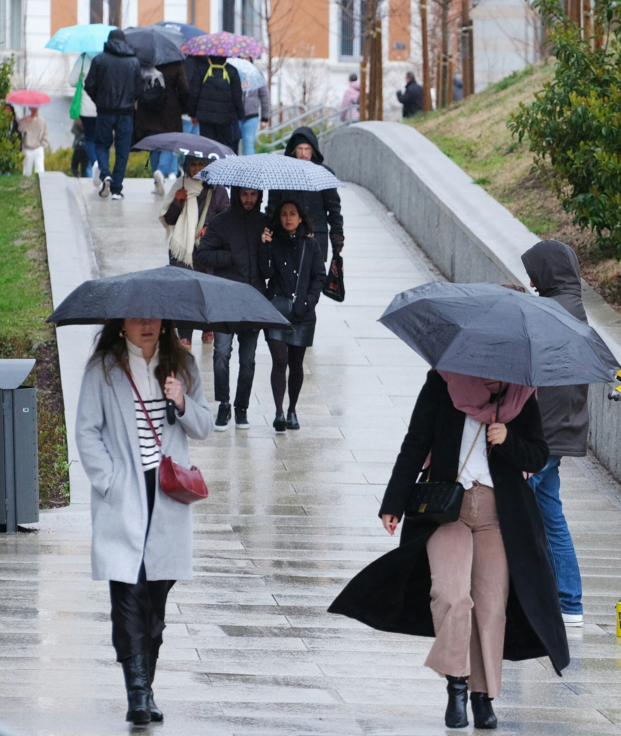
Spain is facing another spell of, at times, extreme weather conditions. While the storm system “Bruna” continues to affect large parts of the country with heavy rain, strong winds, and high waves, the next low-pressure system – named “Charles” – is already on the horizon; it is expected to cause a further deterioration in the situation starting Wednesday. For parts of Cáceres and Ávila, the highest-level weather warning is already in effect for Tuesday.
Spain Expat Press Editorial Team
by Marlon Gallego Bosbach
Red alert level for Cáceres and Ávila
The situation is expected to become particularly critical tomorrow, Tuesday. The Spanish meteorological agency AEMET has issued a red alert for the north of Cáceres province and the south of Ávila due to exceptionally heavy rainfall. The alert is in effect from 9:00 a.m. to 11:59 p.m. During this period, up to 120 liters of rain per square meter could fall within twelve hours. According to current forecasts, total rainfall over the entire duration of the weather event could reach 200 to 300 liters per square meter.
Other areas of Castile and León, as well as parts of Castile-La Mancha, are also under weather warnings. In Ávila, Salamanca, and Zamora, up to 60 liters [of rain] are expected within a twelve-hour period on Tuesday, with total amounts potentially being significantly higher over the course of the event.
Bruna continues to bring heavy rainfall
Storm “Bruna” has not yet moved on. The low-pressure system, which has been active since Saturday, continues to bring heavy precipitation to the Iberian Peninsula and the Canary Islands.
The western and southwestern parts of the country are particularly affected. Further heavy rainfall is expected in parts of Galicia, Extremadura, western Castile and León, and Andalusia. In San Fernando, in the province of Cádiz alone, more than 100 liters per square meter were recorded within a short period today, Monday.
The western part of Galicia also remains under observation. In addition to heavy rain, strong wind gusts and significant sea conditions are possible there. Along the Atlantic coast, combined wave heights could reach four to five meters.
Charles to escalate the situation starting Wednesday
While “Bruna” is still active, the next storm – named “Charles” by the Portuguese meteorological service (IPMA) this Monday – is already heading toward Spain. It is the third named low-pressure system of the 2026/27 season within the area of responsibility of the southwestern European meteorological services.
The system has a subtropical origin and is expected to cause a significant deterioration in weather conditions, particularly on Wednesday. Heavy to very heavy precipitation, strong wind gusts, and increasingly rough seas are anticipated. It should be explicitly noted that this is not a hurricane striking Spain; rather, the term “subtropical borrasca” (low-pressure system) describes the system’s formation and structure.
Wednesday will be the most critical day
According to the assessment of the Civil Protection, Wednesday is expected to be the most difficult day of the entire weather event. At that point, “Charles” is forecast to move toward Spain and Portugal, passing to the south of “Bruna”. This will cause several weather factors to converge: soil that is already damp and saturated, the ongoing precipitation from “Bruna”, and the additional rainfall and winds brought by “Charles”.
AEMET and the Civil Protection agency therefore anticipate an increased risk of localized flooding, rapidly rising rivers and streams, and landslides. Areas where rainfall is intensified by mountainous terrain are particularly at risk.
Andalusia also gets a lot of rain
The weather situation is not limited to western and central Spain. Andalusia is also among the regions that can expect significant rainfall in the coming days. The western provinces and mountainous areas are of particular concern. In the Sierra de Gredos and parts of Andalusia, the storm system “Charles” is forecast to bring rainfall exceeding 50 liters per square meter.
In the southwest, very strong wind gusts may also occur. According to current forecasts, gusts reaching 100 to 120 km/h – or even more – are possible in the area of the Gulf of Cádiz and along the Atlantic coast of Andalusia. Sea conditions may also become significantly more severe.
Canary Islands in the spotlight
“Bruna” has already had a significant impact on the Canary Islands. “Charles” is also expected to affect the archipelago, particularly the western islands and Gran Canaria. Once again, exceptionally heavy rainfall is anticipated for La Palma. At the same time, wind speeds exceeding 120 km/h may occur in exposed areas of the western islands.
Consequently, the situation in the Canary Islands remains tense, even following the impacts already caused by “Bruna”.
Up to 300 liters and more possible
The greatest danger arises from the combination of several periods of rainfall. The Civil Protection warns that, over the course of the entire event, precipitation could accumulate to more than 300 liters per square meter in some areas.
Areas of the Sistema Central – some of which have already been damaged by severe summer wildfires – are particularly at risk. In these locations, heavy rainfall can very quickly overwhelm the ground, increasing the danger of landslides.
In addition to flooding and landslides, strong winds can cause further damage. Authorities are warning, among other things, of falling branches and trees, as well as loose or damaged parts of buildings. There is also an increased risk in cities and regions along the coast due to rough seas; high waves can damage promenades and other coastal infrastructure.
Madrid also remains affected
The Madrid region is also not being spared by the current weather conditions. As early as today, Monday, rainfall amounts of up to 40 liters per square meter were expected in parts of the region.
As “Charles” continues to advance, attention shifts once again toward central Spain. Mountain ranges, in particular, have the potential to intensify rainfall. However, the extent to which Madrid itself will be affected still depends on the precise path and development of the low-pressure system.
Gradual easing starting Thursday
Following its peak on Wednesday, “Charles” is expected to move across the Iberian Peninsula from the southwest to the northeast on Thursday. Heavy precipitation and strong winds remain possible in some areas. As it continues on its path, however, the low-pressure system will gradually lose strength.
On Friday, the situation is expected to continue easing, particularly along the Mediterranean coast. On the Atlantic side, however, precipitation may persist. Galicia and the area around the Sierra de Gredos, in particular, will continue to experience prolonged periods of rain.
Spain is facing an unusually unsettled spell of weather this week: “Bruna” is being followed by “Charles”, all while large parts of the country are already heavily saturated. Wednesday, in particular, could see a combination of heavy rain, wind, and rough seas, posing a significant challenge for regions in the west and south of Spain.